DCI Teratrak Terrain Mapping
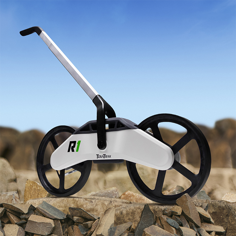
Terrain Mapping and R1 App TeraTrak R1 does the math for you when dealing
with terrain challenges and navigating around utilities using drill-calc functionality. It gives you the vital terrain data to create and update your bore plan on-the-fly, so it never becomes obsolete. TeraTrak gives you faster jobs, quicker decisions, and more confidence in getting it right the first time.
| Technical Specification | |
| Accuracy Two-way (elevation)1 | ±2in (5cm) over 500ft (152m) |
| Accuracy Two-way (elevation)1 | ±2in (5cm) over 100ft (30m) |
| Battery | Built-in lithium-ion battery pack |
| Voltage, current | 5.0 VDC nominal, 500 mA max |
| Weight | 141 lbs (6.35kg) |
| Compatible Phone App2 | Apple & Androidh |
Categories HDD Locating Systems, Utility Infrastructure
