LEICA DSX GPR
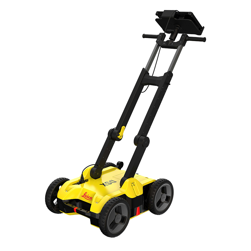
For utility repair and maintenance, civil engineering and surveying companies, the Leica DSX utility detection solution, consisting of a portable hardware with intuitive software allows to easily locate, visualise and map utilities. Unlike any other ground penetrating radar (GPR) system, the Leica DSX maximizes productivity with cutting-edge software that automates data analysis and creates a 3D utility map on the field.
Set Up Job / Quick Scan
- Set the grid size according to your job’s need or start Quick Scan
- Add different background layers, such as Google Maps or DXF/DWG
- See your scanning path and positioning accuracy in real-time for guidance.
- Set point of interests, such as manholes, lamp posts or hydrants
- Slice through different depths of the 3D detection image.
- Use B-scan function to get insights about ground conditions and support in data interpretation.
- Identify utilities with the support of the smart algorithm.
- Overlay the data with CAD layers
- See utilities in 2D and 3D
- Measure point to point distance
- Identify and mark ground anomalies, objects and features using B-scan view
- Let software lead you to the required utility
- Export utilities directly to the Leica MC1 machine control software
- Customise and create PDF reports for documentation
- Export in DXF, DWG and SHPformat
| Technical Specification | |
| Antenna | Single Antenna |
| Weight (with battery) | 25 kg |
| Frequency | 600 MHz |
| Depth | Up to 4m |
| Battery | 14.8 V, 5800 mAh Li-on |
| ● Battery Life | Up to 8 hours |
| Display | CT1000 tablet |
| Bluetooth | |
| ● Data Transfer | Yes |
| ● Connected to external GPS | Yes |
| Ingress Protection Rating | 65 |
Categories Utility Detection Solutions, Utility Infrastructure
